


SloveniaHolidays.com > Attività > Na Ključ
Na Ključ


punto di partenza: : Polhov Gradec
- lunghezza:
20.0 km - tempo:
02:50:00 - difficolta:
media - fondo:
asfalto, brecciato, sentiero
Descrizione della strada
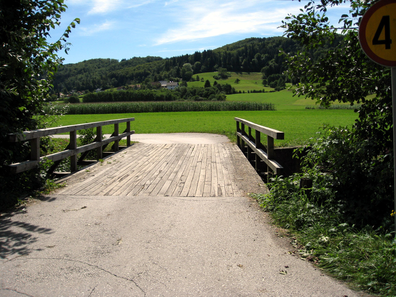
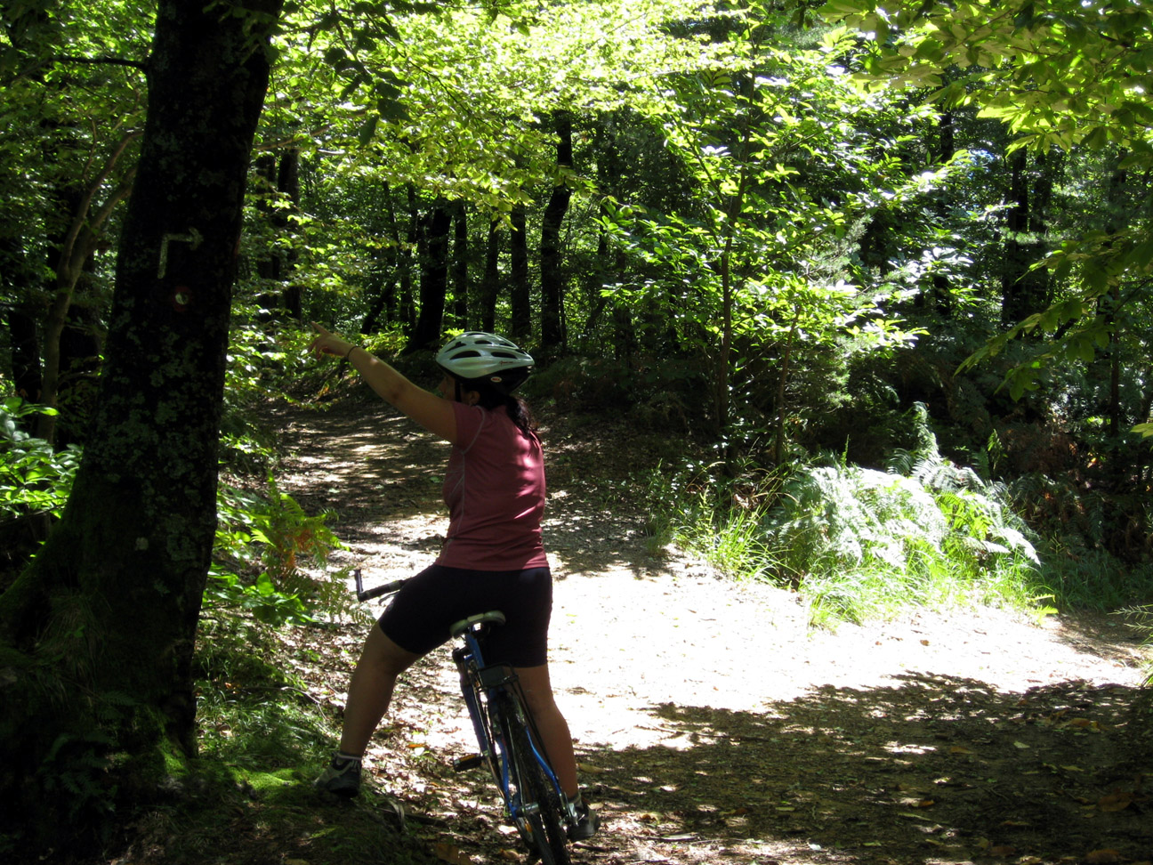
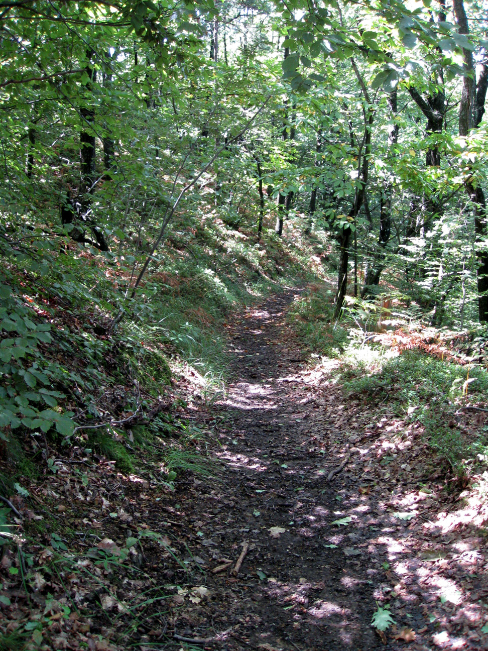
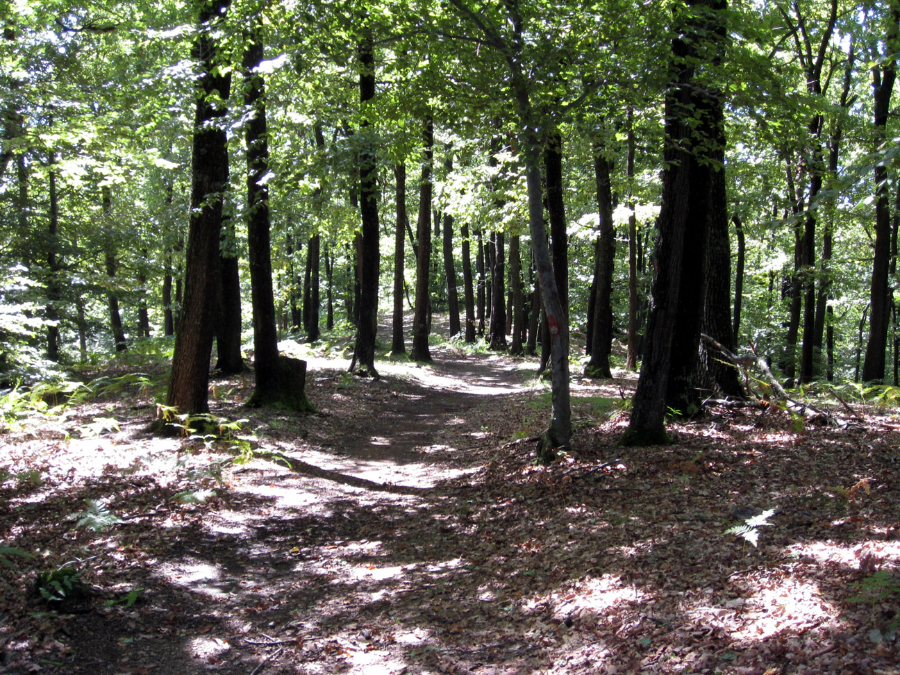
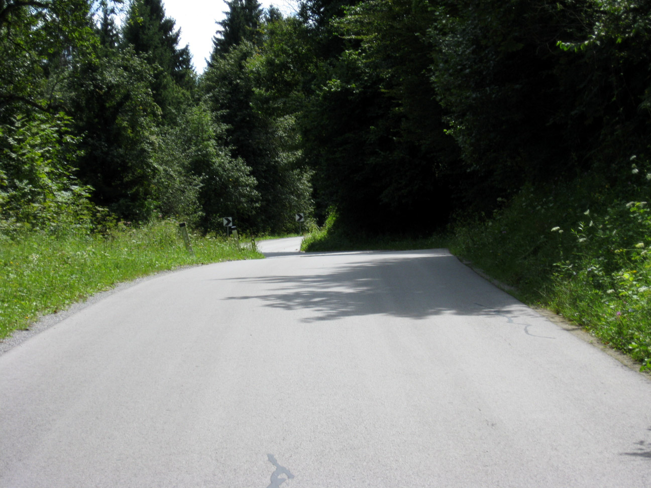
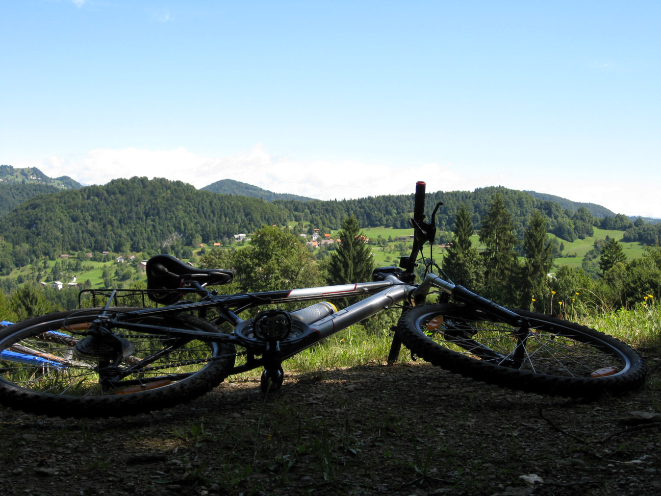
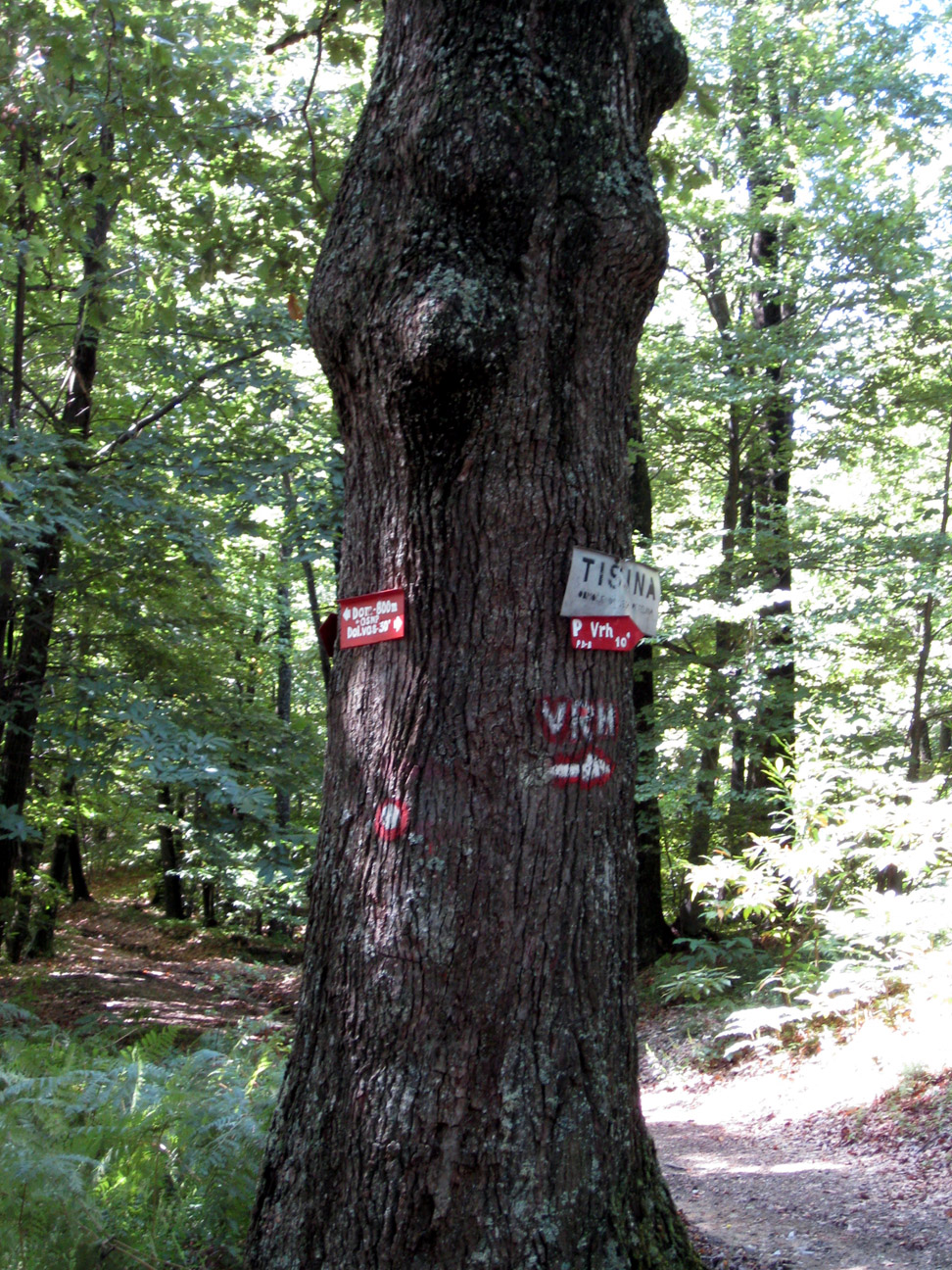
On the Polhov Gradec - Ljubljana road, turn right just before Dvor and cross the bridge (1,5 km) across the Gradaščica. Follow the narrow asphalt road to the intersection (1,9), turn right and take the macadamized road across a courtyard to a gravel road. The next kilometer of the route is very steep. Cross the motocross track and stay to the left. Once you reach the plain (3,0), you should see a sign warning you about wild cocks. At the intersection (3,2), choose the ascending road to the left. Follow it to the beautiful meadow and onward to a wider path (3,7) - turn right, then (3,9) turn left down a main forest road. At the next crossroads (4,3), turn right and up. The wide road makes for a quiet ride through the forests, accompanied only by the rustling of fallen leaves beneath your bicycle. Soon, you should see a tree with signposts on it in front of you (5,1). To the left is a mountain hut. First, you will need to deal with a muddy, extremely steep forest road (we recommend dismounting), then flat land and a crossroads. You can lock your bicycle here and head up through the forest for about a hundred meters until you reach the summit of Ključ (5,7). Descend in the direction of Horjul. The descent goes right from the summit of Ključ to the other, Horjul side. At the intersection (6,3), turn right off the gravel road onto a forest road, then turn right again at the bend (6,6). There is a very large curve at (7,7), but stay to the right and follow the markings (do not follow the main road descending to the left). The nice gravel road may remind you of Golovec. When you get to the crossroads at the end of the plain, turn right and descend again (follow the markings) instead of going straight. One last steep rock-covered gravel road and you will once again reach asphalt in the village of Podolnica (8,1) near Horjul. To the right is Zaklanec. The Horjul - Polhov Gradec connection: (A minor ascent and descent, with 3,33 kilometers of macadamized road and a height difference of 77 meters.) In Zaklanec (9,1), turn right and head over the slope (11,2 km, 423 meters above sea level) to the main road in Dolenja vas (14,3) near Dvor. Turn left and proceed about a kilometer to Polhov Gradec (16).
AVVISO:
Per la descrizione delle strade ciclabili, puntualita' e precisione dei dati l'autore di questa pagina non si assume nessuna responsabilita'. Le strade ciclabili le abbiamo presentate nella maniera migliore possibile. La valutazione per la realizzazione del giro e' soggettiva per ognuno che lo realizza o legge queste pagine. Il decreto della corsa nell'ambiente naturale (UR. l. RS 16,28/95)