


SloveniaHolidays.com > Activities > Sv. Jošt nad Kranjem
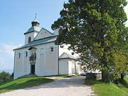
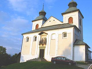
Sv. Jošt nad Kranjem


Starting point: Kranj (GPS TREK)
- Path length :
18.0 km - Time:
01:10:00 - Difficulty:
Medium - Ground:
Asphalt - Altitude difference:
457 m
Description of path
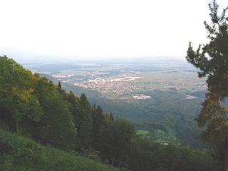
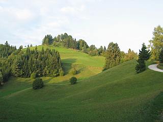
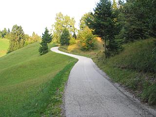
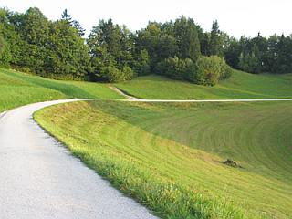
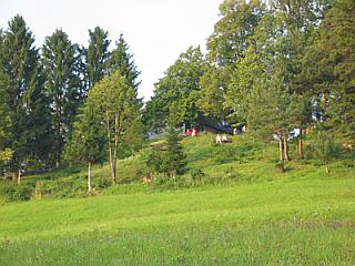
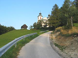
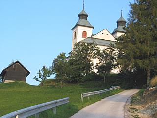
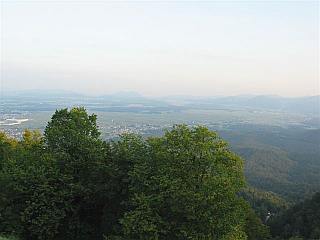
The ascent begins in Kranj (former market area or tekstelindus). Then, cross the bridge over the Sava river and immediately turn right. After a hundred meters, take the underpass beneath the railroad and turn left toward Stražišče. Soon, you will encounter a short ascent (200m) that will help you warm up for the journey. Go straight through Stražišče, then turn right toward Bitnje at the end of Stražišče. After about 400 meters, follow the signpost past the main road Sveti Jošt nad Kranjem and turn right. Then, simply follow the Sv. Jošt nad Kranjem sign. Following about a kilometer of level road, you will reach the first incline, which is about 2,5 kilometers long. Cycle through several villages. In the village of Javornik, turn right and follow the Sv. Jošt nad Kranjem sign once again. You will encounter a rather difficult climb with an almost constant 18% degree of incline. The road is asphalted and goes through a forest, so you should be in a pleasantly cool shadow even on hot days. Just before the summit you will find a level stretch of road - a good spot for resting, as the final ascent is rather steep. Once you finally reach the peak, you can enjoy an excellent view.
Warning
The author of these pages takes no responsibility for the described cycle routes or for the accuracy of the data. We have presented the cycle routes to the best of our ability, but the cyclist and the maintainer of the route are ultimately responsible for the safety of the trip.